The Sheep's Head Way Overview:
Official length: 100km - 200km (175km being most regularly quoted distance)
What we walked: unknown
Number of days: 4 - 7+
Start/end points: Bantry is the typical start/end point, but accessible from many locations
Trail difficulty: 3.9/5
Trail Quality: 5/5
Views/area: 5/5
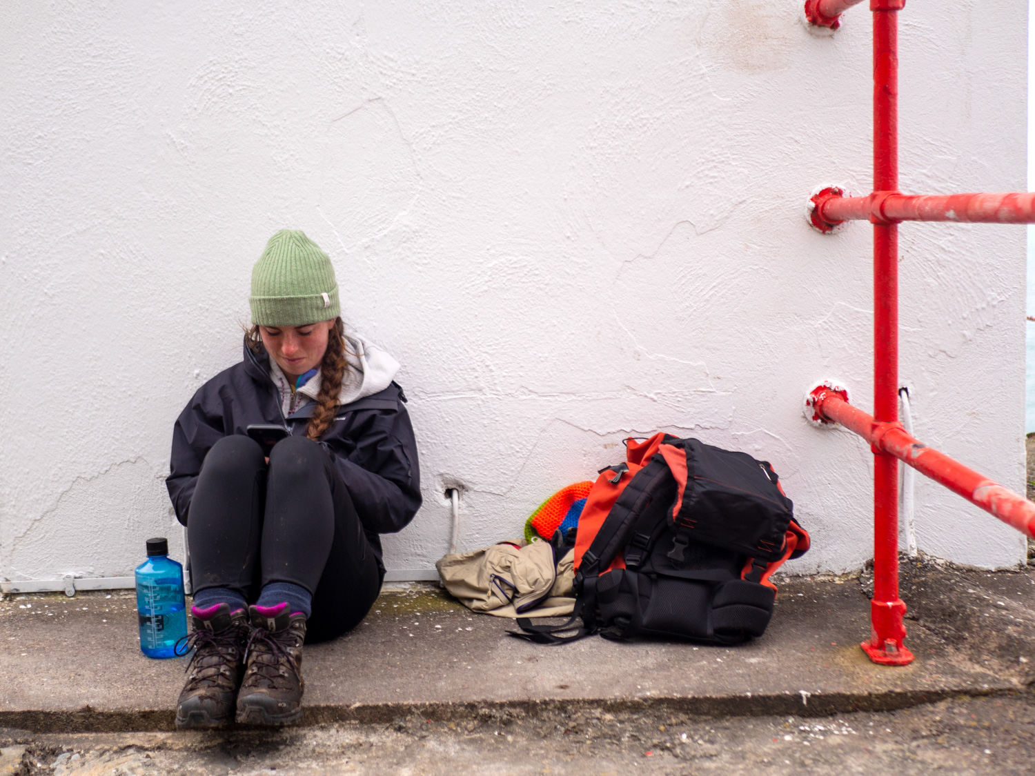
Camping/Accommodation: We didn't see a huge number of ideal camping spots, but this is for two reasons; it was very early spring when we walked the trail, and therefore very wet; and, we weren't camping for this trail! So we weren't actively searching for them.
From what I've seen and heard the landscape on the Sheep's Head goes through unbelievable transformations throughout the seasons, so in summer there's probably much more to choose from.
As for indoor accommodation there seemed to be plenty of B&Bs/small rental apartments all along the trail. We were lucky enough to stay with friends for the entire trail.Maps: We’ve made our own Tough Soles maps! These maps are free to use, remix, and redistribute under CC-BY 4.0. All you need to do is attribute us! Here are the Sheep’s Head Way maps, and here are all the maps we’ve made.
This is part two of the Sheep's Head Way! For part one, click here!
Day 4: Durris - Ahakista
Arriving in Durris it was already raining, so we sat in the local shop drinking coffee, and waited for it to dry out slightly. On our way there that morning we'd passed the bay and the old grain store, an impressive ruin across the water from the road. It looked quite forlorn out there in the rain, it made me think of the work houses of the famine.
The day did end up being drier than the past couple, but the ground was saturated. It was probably our shortest day of walking (maybe 12km), but contained plenty to see, leading us past the stone circle that Ahakista is guessed to be named after, and the Heron Gallery and café of delicious soups and coffee.
The trail started off along some very small and quiet boreens, passing another ruin, this time a forgotten fortified mansion. Crossing through lots of undulating farmland, the trail comes out onto some recently burnt hill side. The scorched yellows, oranges and blacks made for striking contrasts in the sunshine, gusts of wind causing the stalks to dance in swirls out across the land in front of us.

The end of this section of trail is marked by a beautiful memorial to Tomáis Whitty, one of the integral founders of the Sheep's Head Way. The trail loops around a small river as it briefly becomes a waterfall. Everything is covered in glistening moss and dappled sunshine.
Day 5: Ahakista - Seefin - Cahergal
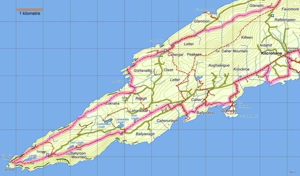
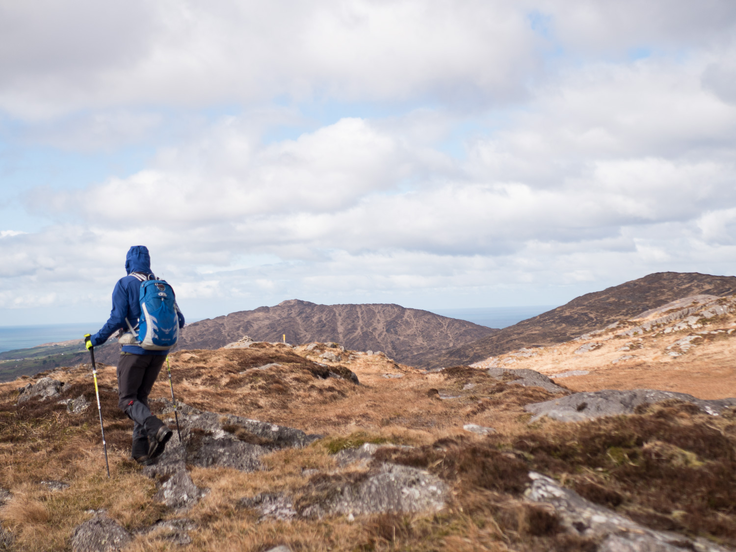
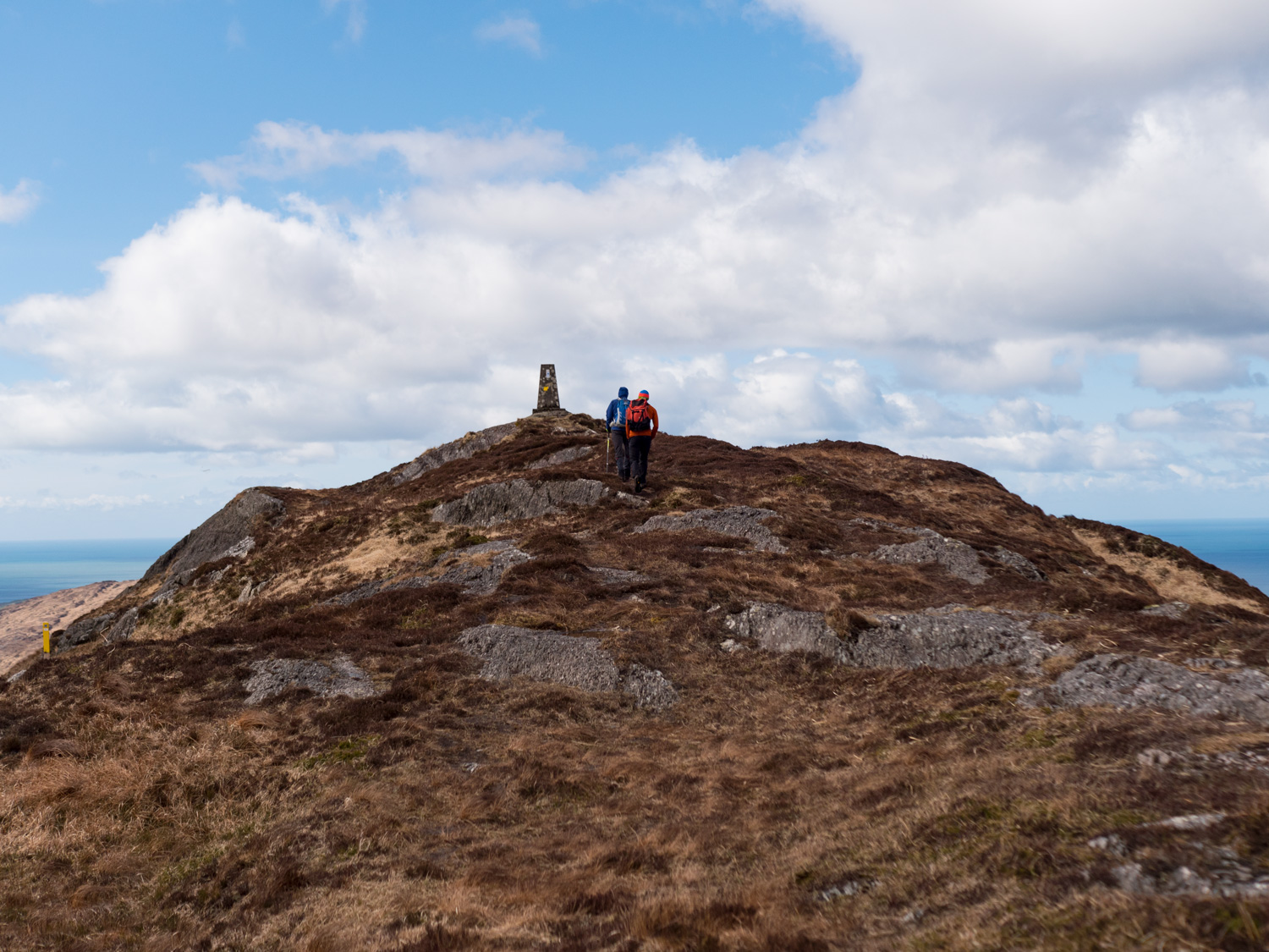
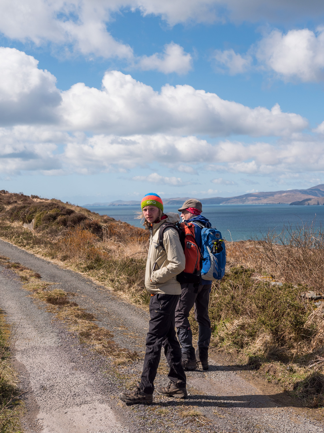
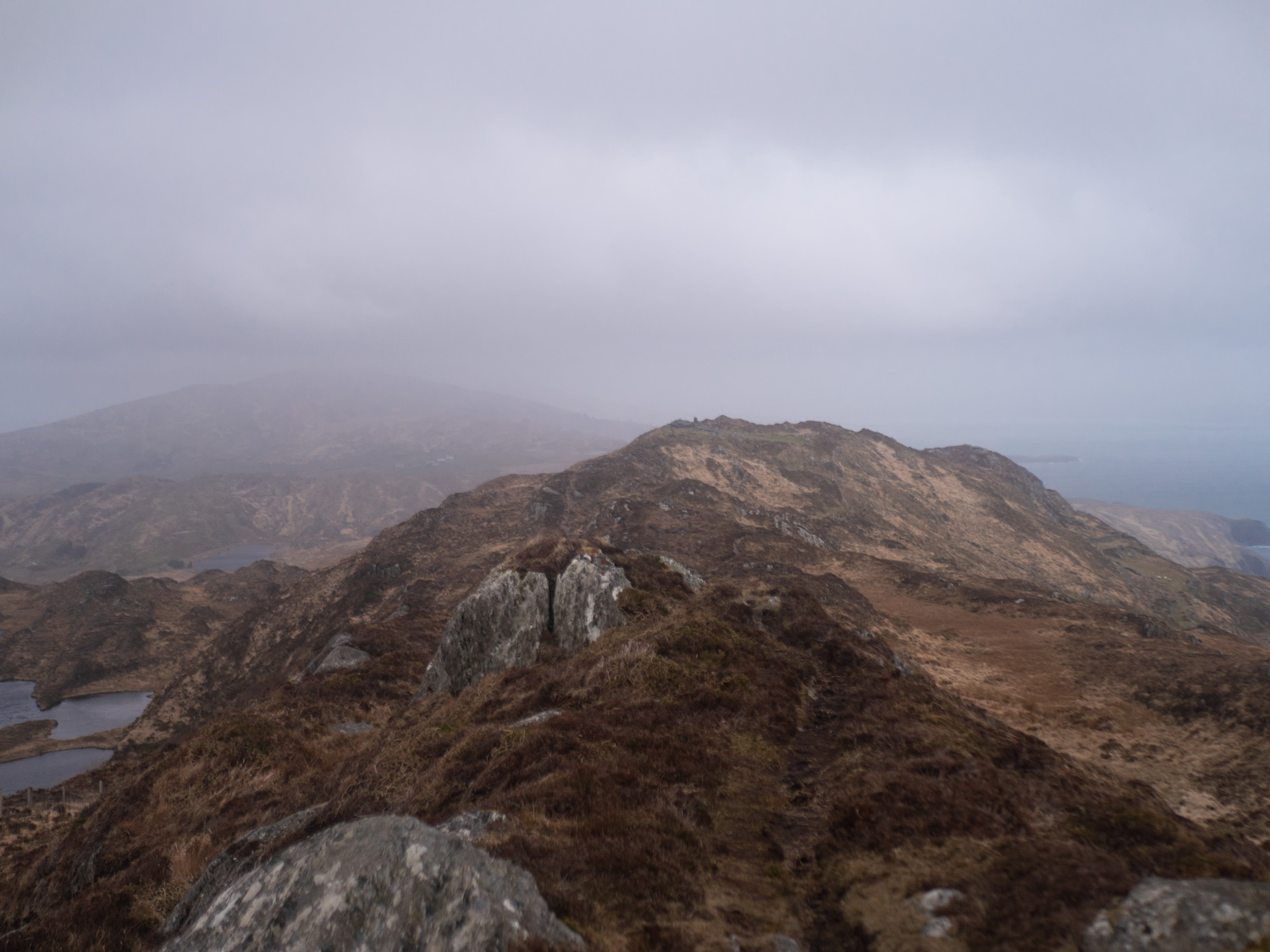
The wait for the weather was worth it, as the sun finally burnt away the morning mists - aided by some boisterous gales. Peter was back out with us again, showing us how the different tracks and trails of the area pieced together to build different ways. While the sunshine stayed with us, it was one of those days where we all received a thorough sinus clean, the cold bite to the wind numbing our dripping noses as we walked along the high points of the peninsula.
Having a third person with us helped amazingly with our lack of pace and general lethargic-ness. When it's only us, it's very easy to notice how tired we are, and how much further there is to go. When we have an extra person along however it's so much easier to chat and forget about any stiffness you might have been feeling the day before.
And if I'd thought we'd seen all the amazing views the Sheep's Head had to offer, well I was still completely wrong. How one place can hold so many beautiful views I'll never know. Each cairn and hight marker prompted a new round of photos and poses, gasps at each new minor detail noticed, and just general happiness at being in such a beautiful landscape. The stroll down along the horse shoe road - a road that has so many ups, downs, switch backs and pot holes that it gets more foot traffic than motorised - was a peaceful end to a breathtaking day.
Day 6: Cahergal - Letterwest
Walking from Cahergal on the north side, to Letterwest on the south side, we were finally linking up the two sides of the peninsula, and the two halves of trail we had been building.
Leaving Cahergal you pretty quickly come across some small cottages. Where they stand is known as Crimea, which is named after two families who once lived there, and were infamous for their arguments and disputes. These families lived at the same time as the actual Crimean War was being fought, and so the land was named after it. Whether this is true or not ...
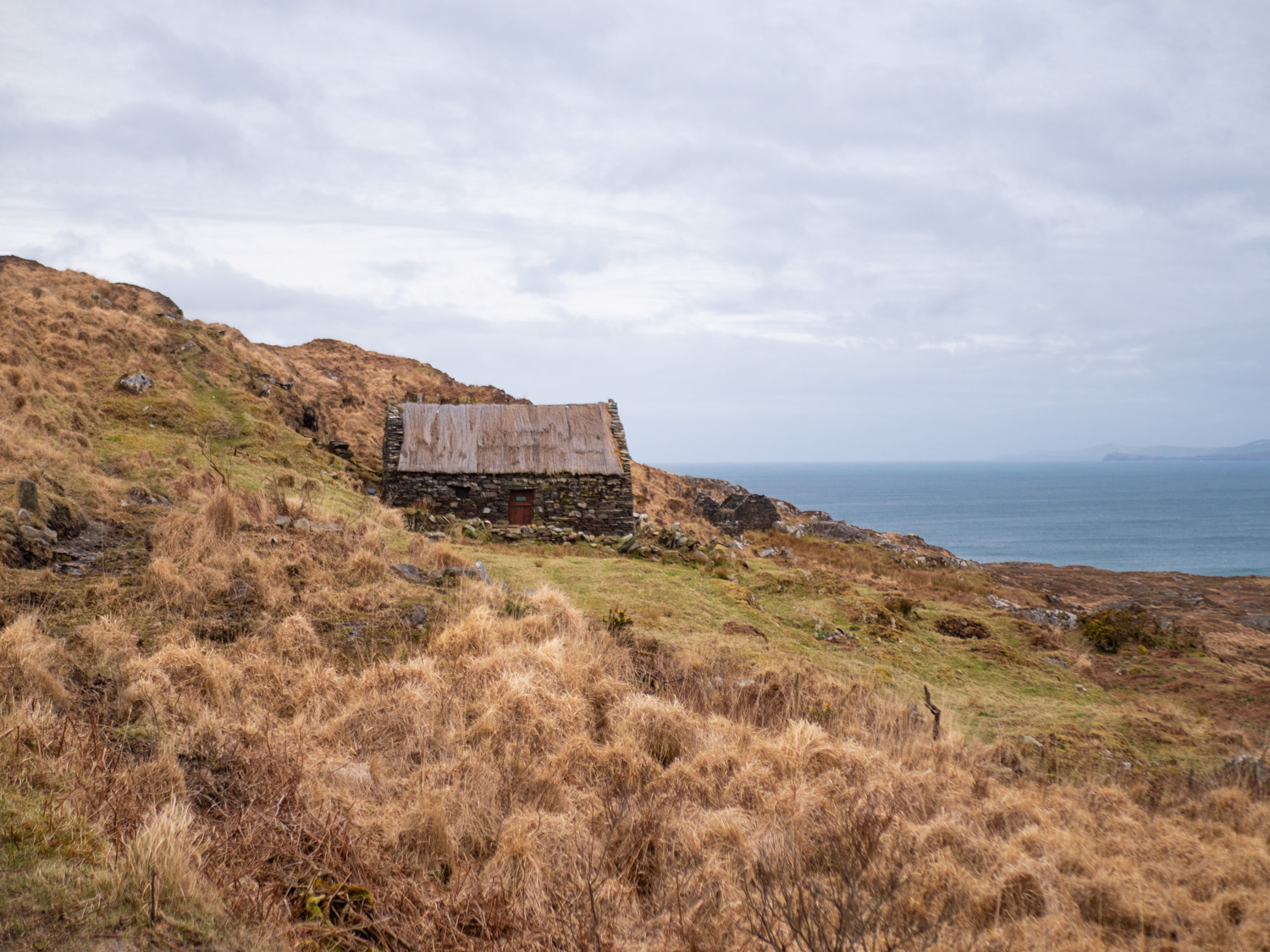
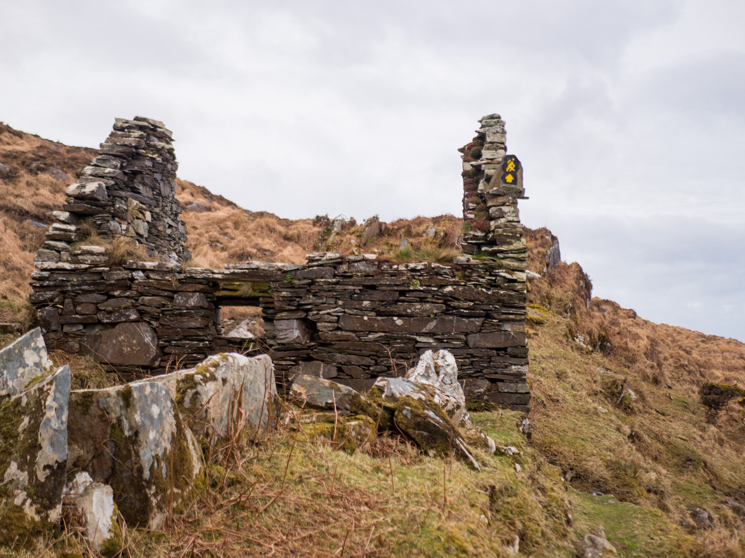
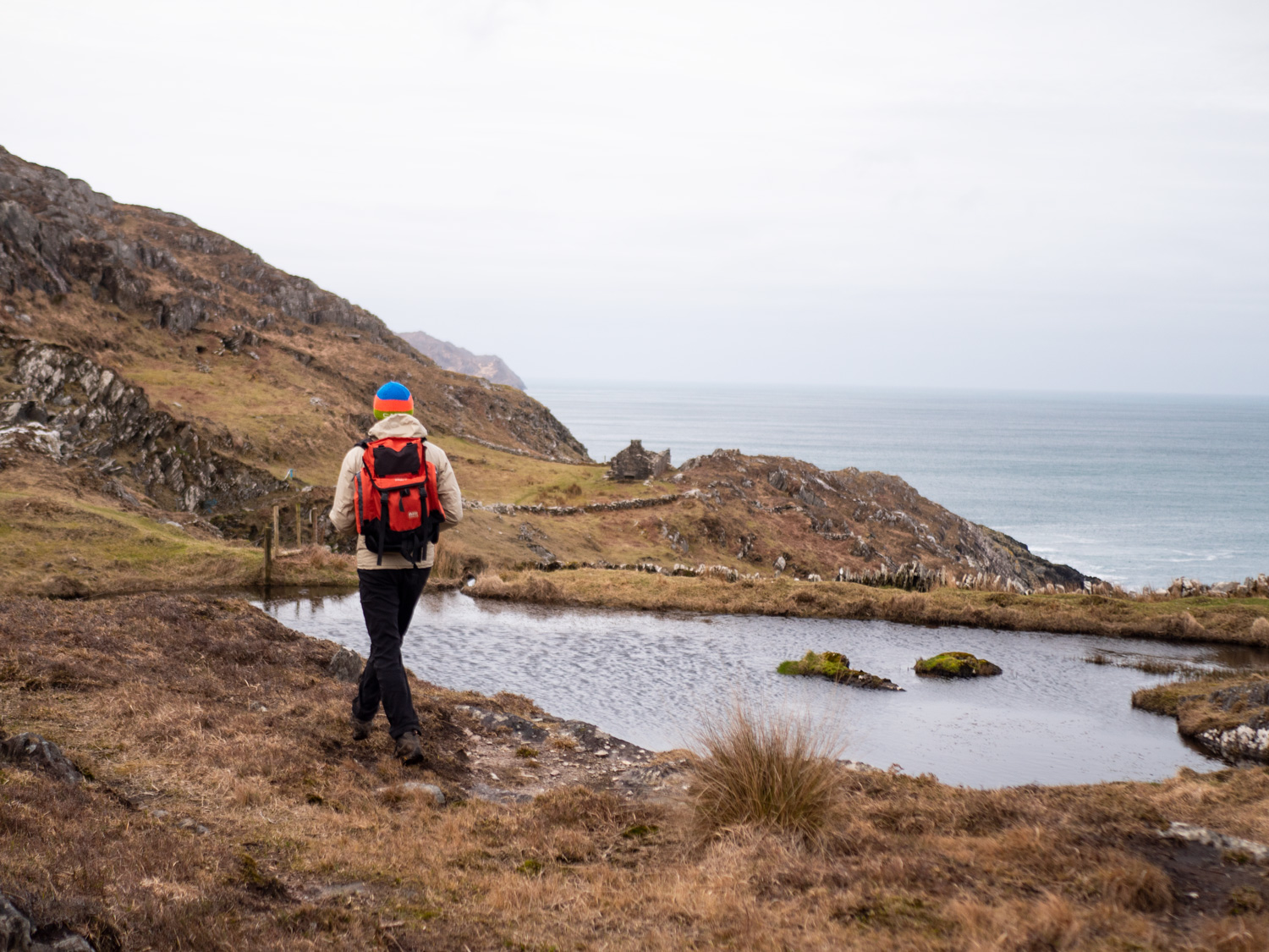
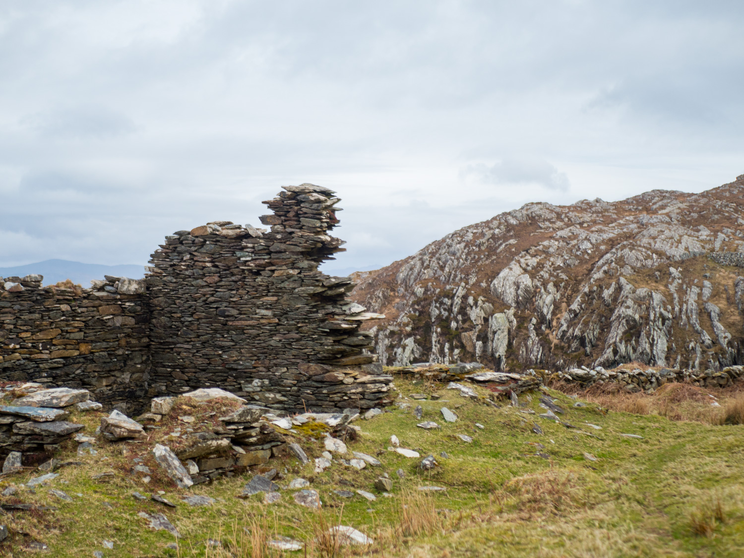
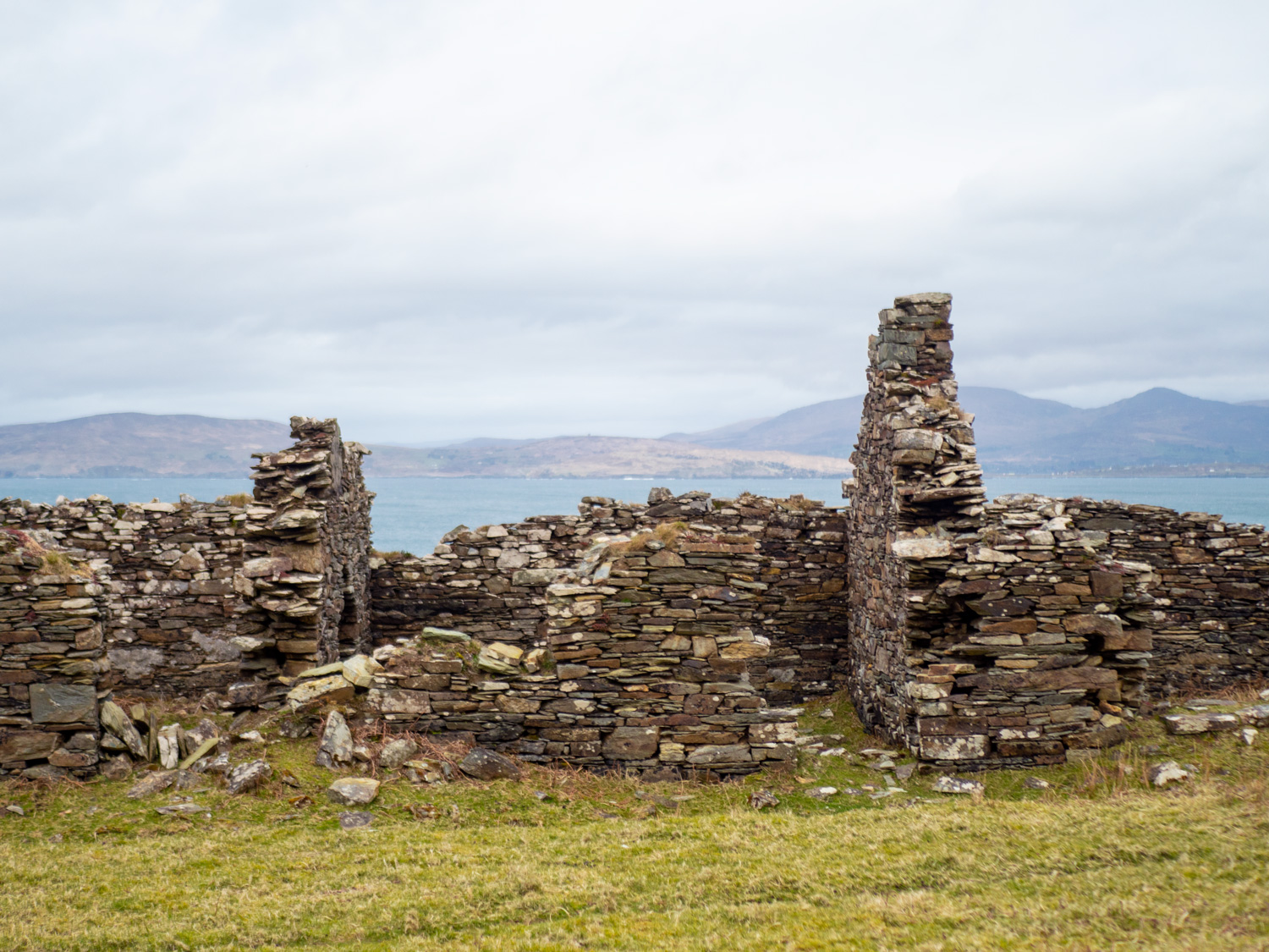
The trail continues on, winding along cliff edges - and quite literally at that, with some sections having well placed roped handrail to ease any nerves that might be inspired by the long rocky drops. It around this section that you can start to notice signs of the copper mining industry that once worked off of these cliffs. Many old shafts are still open on the surface, dark holes lined with sheep wire and the occasional danger sign. What surprised me most was that the beautiful small lake up there is actually the remains of a reservoir built specifically for the mines. You then also come across a long line of ruined cottages, that were once home for miners that were brought into the area especially for the job.
The views throughout all this stretch are absolutely awesome, and I can heartily recommend for any confident walkers; especially if the weather is fine. We were treated sunshine and a sea boasting of a thousand shades of blue as we passed through this section.
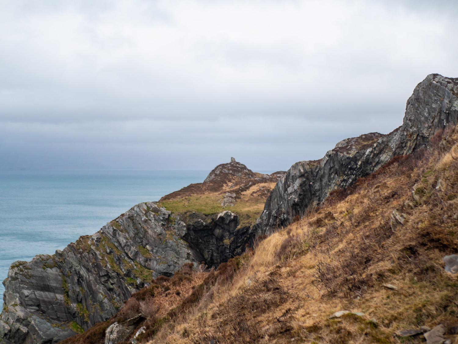
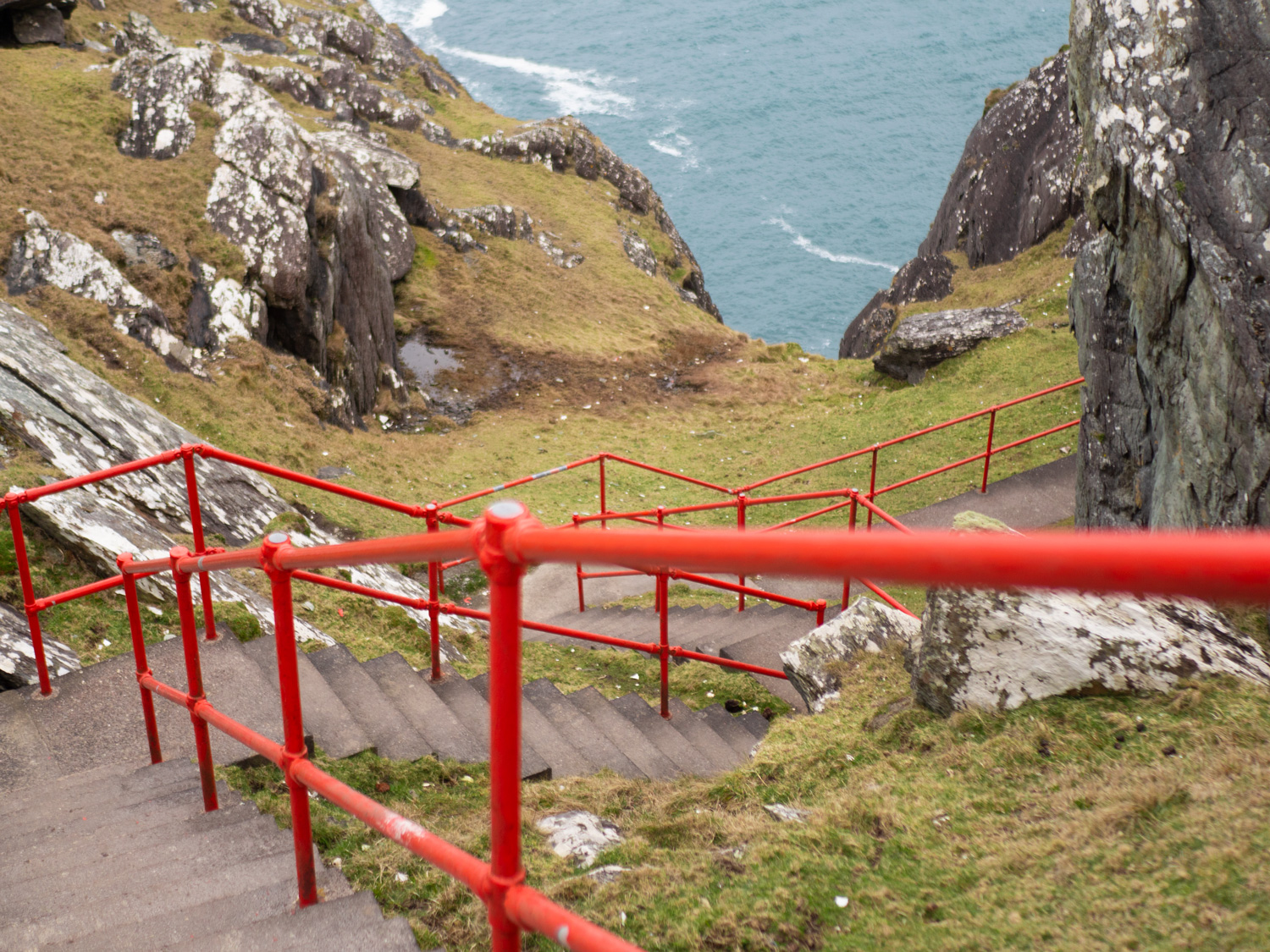
After a quick boggy section we emerged back onto small lanes, passing the small cove where the mined copper was shipped from, and wound our way across some farm land and then right back onto the cliffs, the sea to the right and the mountains to the left. You know you've reached the end when you round a corner and see a large circle outlined with painted white stones - the helicopter landing "pad". Also painted onto a wall of rock is the word Lighthouse and an arrow. As you go through the gap bright red hand railing zig-zags down the steep slope in front of you, fencing the concrete steps that descend out of view. Following the little red road, we come to a small lighthouse. Sitting on the ground for at least half an hour we absorb the views, eat biscuits and talk about our favourite bits of the trail so far. To be honest, it was hard to pick the "best bits" as I thought that every section deserved to be appreciated. But I'm pretty sure we settled on a couple of moments.
The friendly breeze that had blown all day started to pick up a bit as we left the light house, and by the time we were back on the main trail, heading uphill past a couple of small lakes, I was having a hard time of actually moving forward, leaning into the wind so hard that I thought I'd fall flat on my face at any moment. Two minutes later we ducked into a small coffee shop (Bernie's Cupán Tae) and snuggled into two corner seats, watching the sky darken as we indulged in our ever necessary coffees. Checking weather apps dispelled any ideas we had of finishing the day dry, so we hugged our empty mugs for one more moment, and braved the outdoors.
Wow. So much wind.
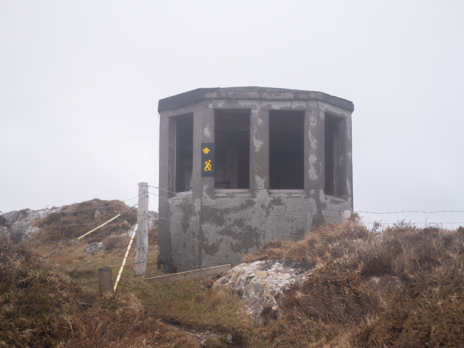
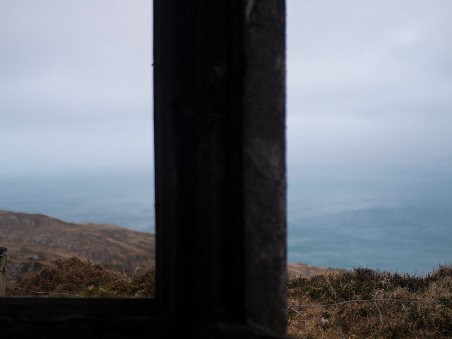
The trail sneaks round the back of the coffee shop and immediately you're climbing back up on top of the ridge line. We scrambled (or fell) our way up the hill to "camp", the old World War II look out post. The small concrete box room is missing all doors and windows, but did offer us momentary relief from the minor storm that seemed to be brewing up around us. Not wanting the weather to worsen around us and leave us stuck there we kept moving. On reaching a height marker I edged my way around it so that the wind was pushing me into the cement pillar, and I relaxed for a second knowing that it wouldn't be able to blow me off the mountain just yet. My excitement and adrenaline was wearing off, with a couple of nerves setting in. Meanwhile Carl reappears beside me and shots something that is immediately whipped away. I can very clearly see the exhilaration still flowing over his face as he bounds on into the relentless weather ahead. We make it down off the high edges and the forcefullness of the wind is gone, with just the rain to contend with as we make our way back to Letter West.
Day 7: Bantry House, bus.

As day 7 dawned, we could hear the rain on the roof again. In fact, we'd heard it throughout the night. The outward forecast looked poor, and our time for the area was running out. We chewed for a bit longer on our cereal that morning, trying to decide on what to do. Depending on what you count, and what we'd decided to count, we probably still had one definite day of walking left - from Durris inland into Bantry. Plus one or two bits we wanted to do, such as an offshoot loop that lead onto Mizen head, and visit whiddy island. But with more rain forecast, we decided it was time to find some drier slopes to wheeze up, and to come back to the magical west cork again later in the summer season.
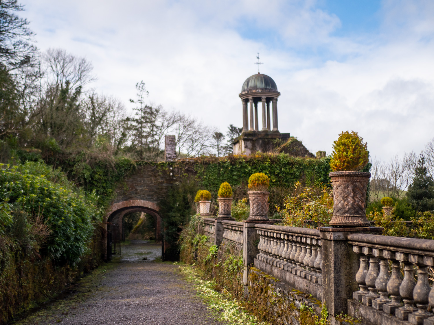
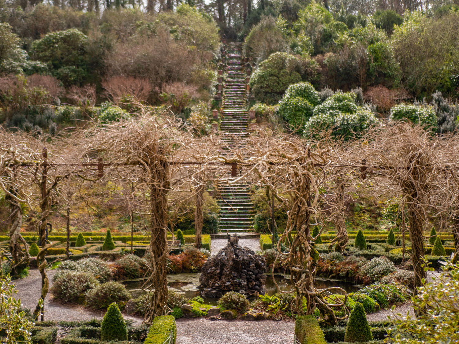
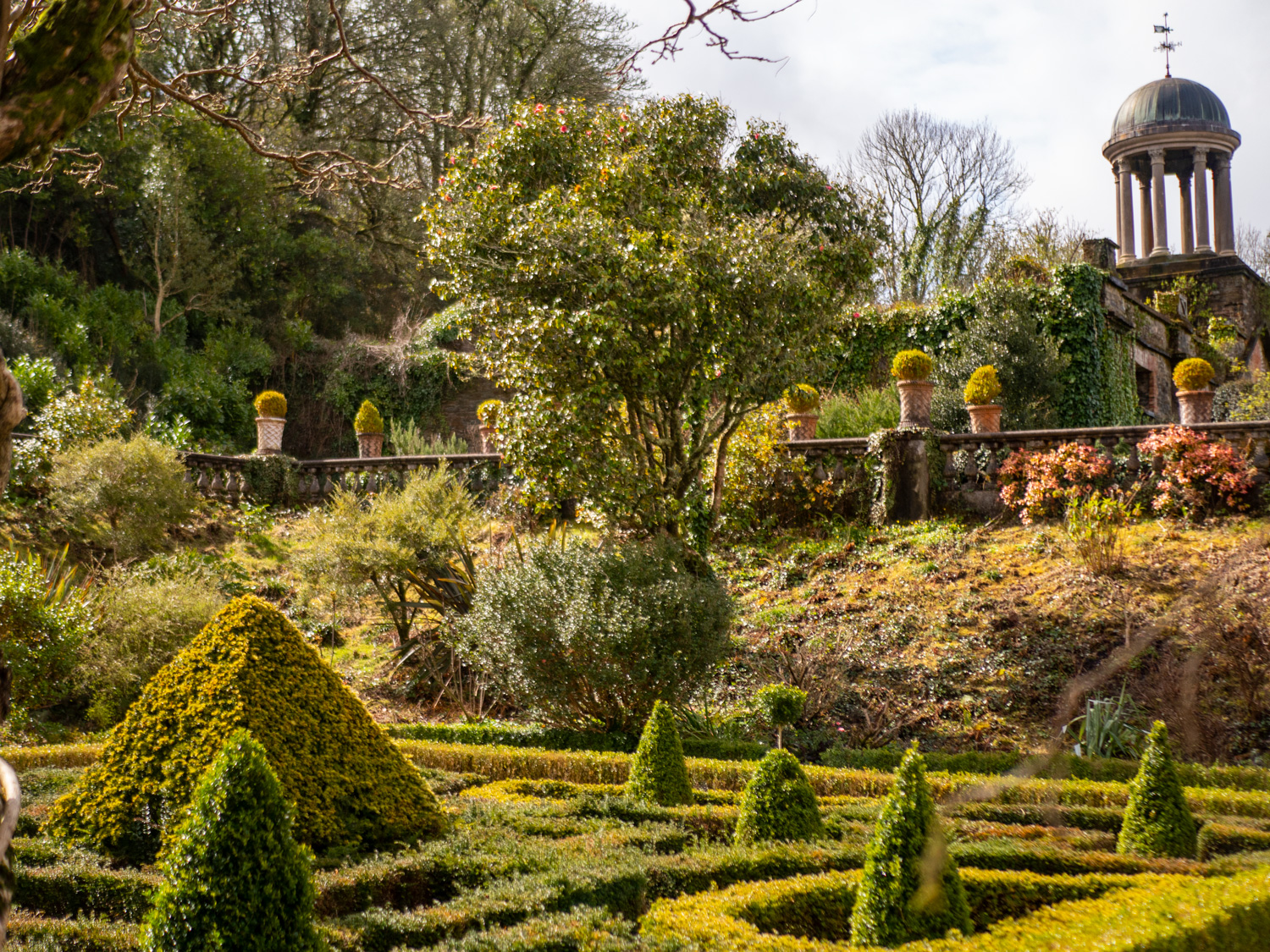
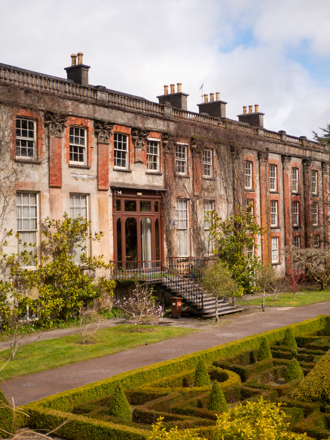
We made sure to take a quick stop into Bantry House, as we hadn't yet fully explored it's gardens and interiors.
With one more coffee scoffed, we went and found the bus stop.
Finally! I would like to say a large heart-felt thank you to Peter and Amanda for putting us up for our time walking there. Amanda's guide book provided so much valuable information for us while on the trail. If you haven't checked out their stuff yet, you really should. This was a fantastic trail, definitely in one of our favourites, and I can't wait to be back.
Our video of Walking the Sheeps Head Way, and of course, flying it.
We’ve made our own Tough Soles maps! These maps are free to use, remix, and redistribute under CC-BY 4.0. All you need to do is attribute us! Here are the Sheep’s Head Way maps, and here are all the maps we’ve made.
If you like our blog you can subscribe to it here!
If you really like it, you can support us on Patreon