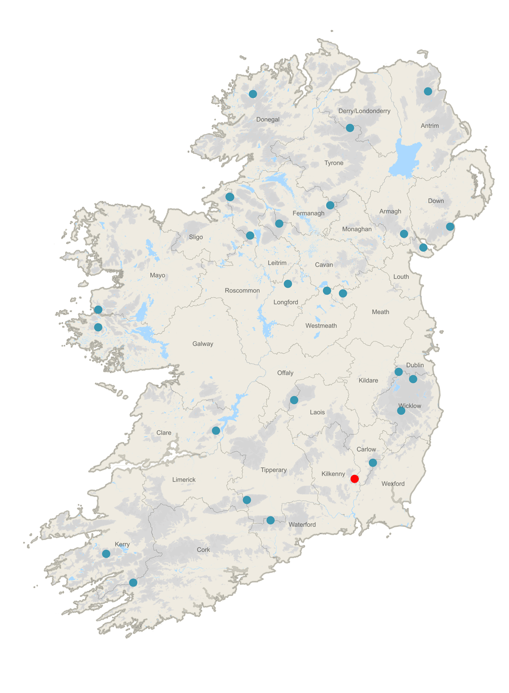
County High Point: Brandon Hill (7/32)
County: Kilkenny
Height of high point: 515m
Our total elevation for the hike: 331m
Difficulty: Easy
On the more intense end of an easy hike, this trail is easy as it is waymarked, and there is an established trail to the summit.
Learn more about trail and hillwalking grading here.Our route distance: 8.14km
Views: Happy and Hazy
Brandon Hill is the highest point in Co. Kilkenny. Sitting on the western banks of the River Barrow, the river cuts the hill off from the Blackstairs Mountains, resulting in this lovely little hill sitting alone.
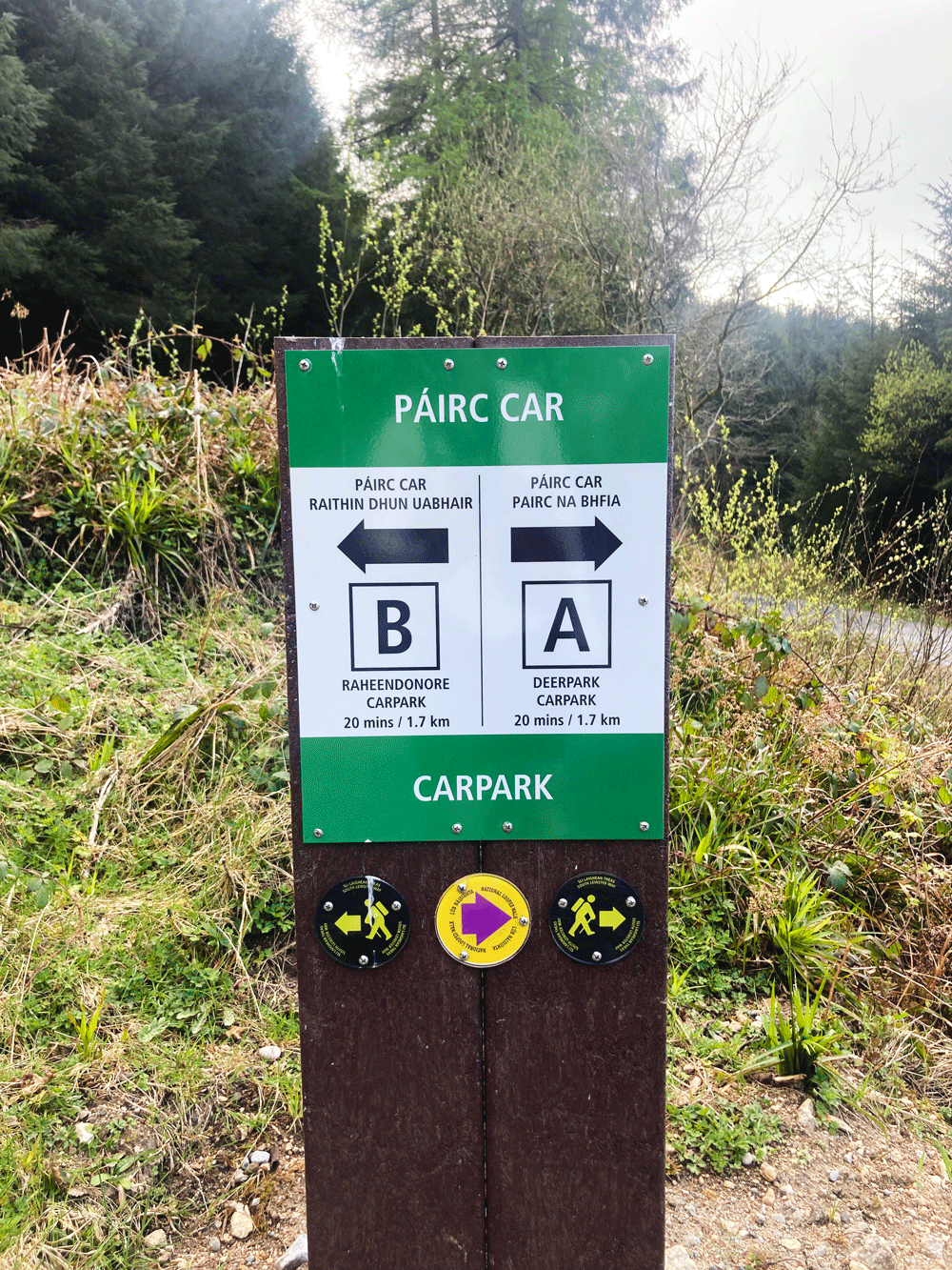
We wound our way along country roads, to the not quite relaxing, but necessary tones of google maps. Unknown to us, Coillte had (relatively recently) done extensive work to Brandon Hill to improve its recreating facilities, which meant that our directions were slightly off. As we started to doubt if the definition of road could really be extended to the turn off that google maps was now recommending, we found ourselves rolling into a car park with info board.
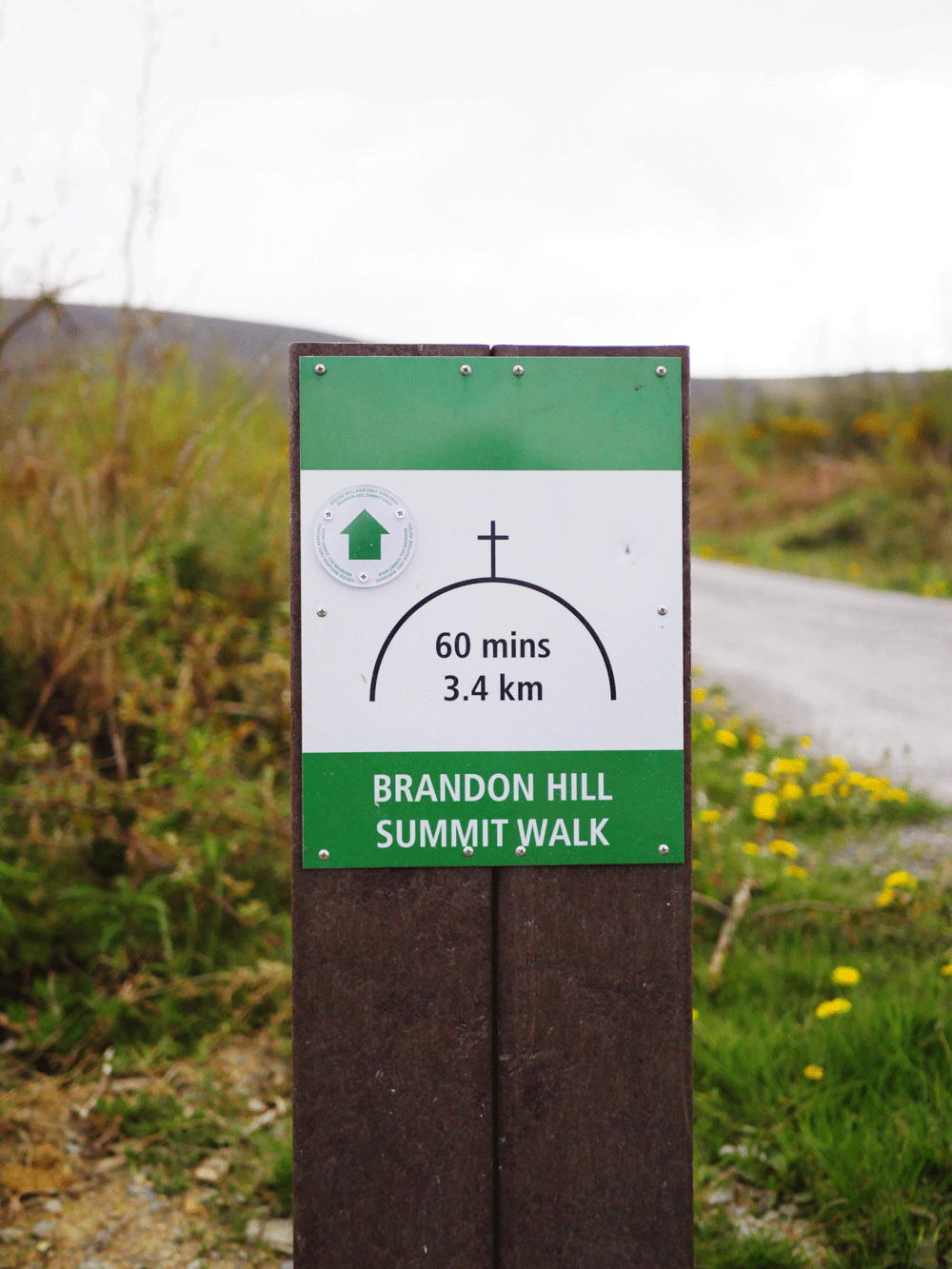
It turns out that the start point we had been heading to is now known as Car Park A - and we had managed to make it to Car Park B. Being in a car park at all was a great turn of events, so we packed up, locked up, and started following the way-markers up the hill.
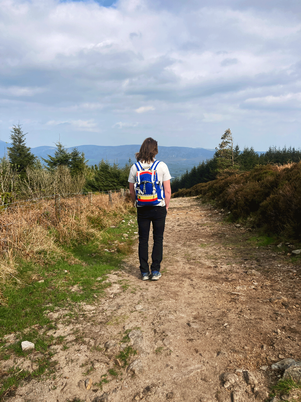
The terrain for this route is, for the majority of the time, large gravel forestry tracks, with a few forest trails and heathery hillside sections mingled in. Along this route we also cross paths with the South Leinster Way again, on it’s way from Inistioge to Graiguenamanagh. While not one of our favourite trails, it still makes me smile whenever we come across one of the ways. It’s like meeting someone from a past life - you focus on the good things, and let the rose tinted glasses of time blur out the rest.
After just over 1km of gravel forest roads, we arrived at a small 3-way junction that marked the way to the summit, the way back to the carpark we just came from, and lets us know that the third track would take us to Car Park A. Continuing onwards and upwards, we headed through a short shady bit of forest trails, where we passed an old looking way-marker that I remembered seeing in other places we’d hiked in this area before. A circle of stone is set into the rock, with a horizontal arrow dividing it straight across. Sitting above the dividing arrow is a capital B, with a capital W sitting below it. I have vague memories of us thinking that there once might have been a Blackstairs Way that this waymarked.
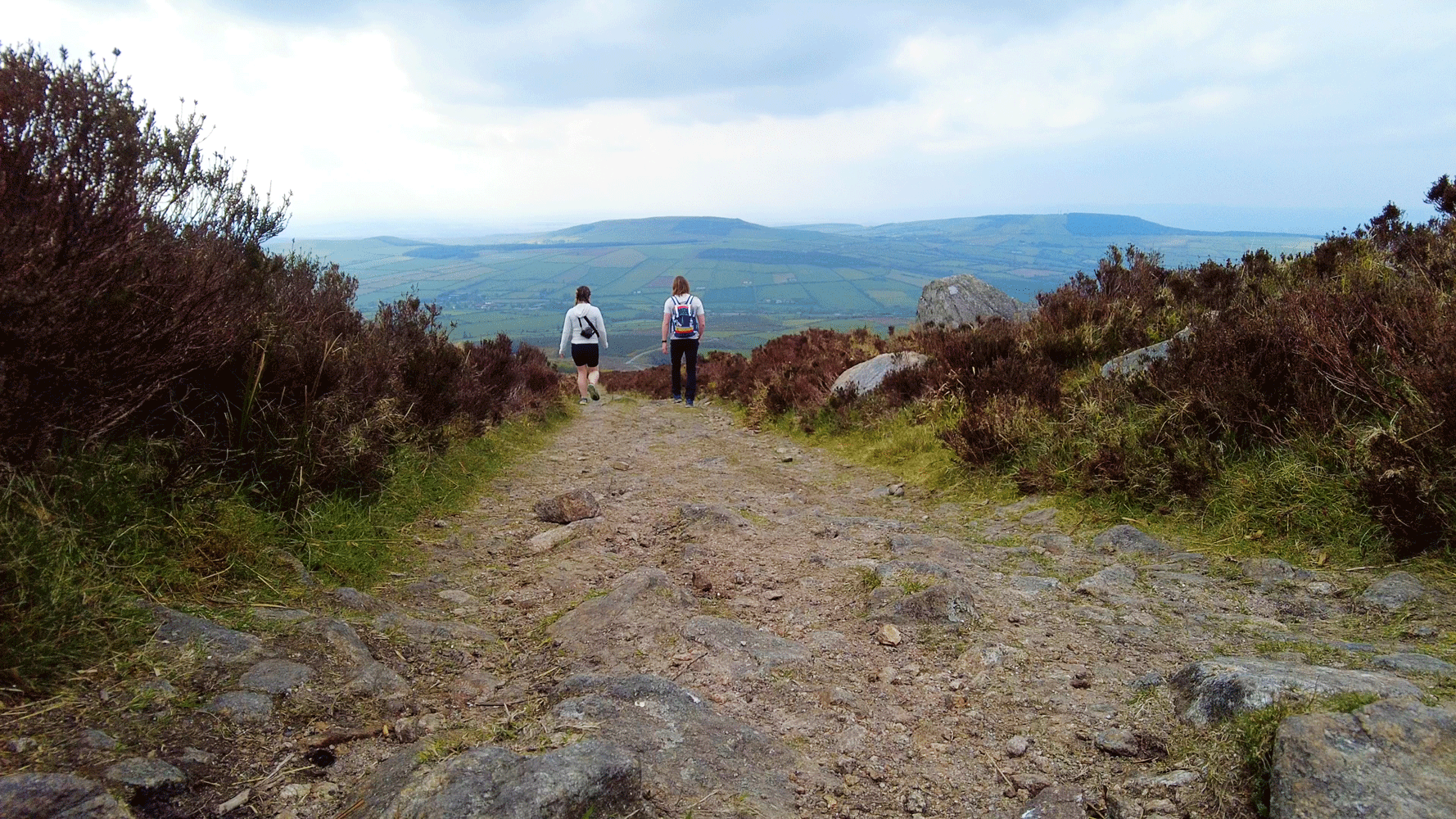
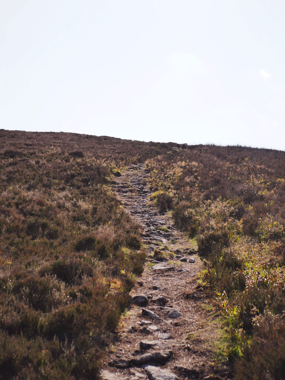
Just over 2.5km in the trail gets above the tree-line, and we reached the only major route decision of the walk. There are two trails up to the summit of Brandon Hill - the “steep” option turns off left and up over the heather, or you can follow the wider trail around the back of the hill to approach the summit from what is listed as a less steep trail. We went with the “shorter and steeper” approach, following a lovely little single track style route up to the hilltop.
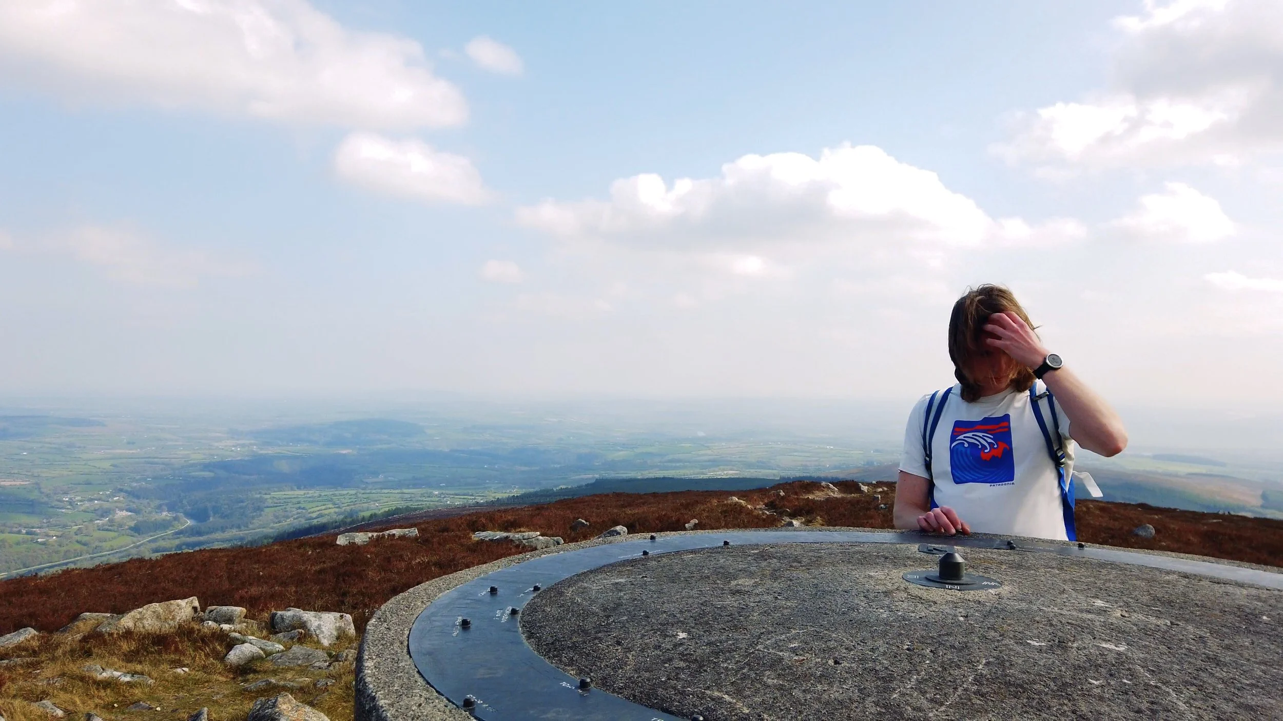
There are a few things to find on the summit - a large cairn with a broken trig point on top; an old concrete square hut (now stuffed with rubbish); a large cross mounted on a rusted plinth; and a large view finder - maybe a meter tall, the top of which is a flat circle with a compass in the middle. Around the outer edge of the compass there are labels for the mountains and towns that are visible in near and far off distance.
Climbing this hill in late April, we were lucky with the weather - warm and hazy, we still managed to pick out most of the views of the surrounding area. The fact that this hill is cut off from the main body of the Blackstairs mountains gives it amazing 360 degree views, for not a lot of climbing.
On the way back down we decided to take the other summit route, just to see what the differences were. From our experience, it seemed just as steep, and the trail is also uneven underfoot, so I don’t know if I would necessarily call it easier than the other route (it also added more distance). I think the main distinction was that it was a wider trail.


Picking up the backpack and heading down, it still surprises us just how quick descents often are. The hazy views turned into thicker low-lying clouds as we made it back to the car, and I felt lucky we got to see as much as we did.
The whole outing was a little over 8km, and the total time was 2hrs, which included plenty of sitting around at the summit.