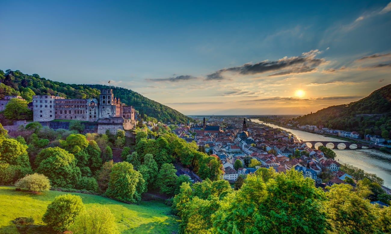
An impressive network of trails, nearly all accessible by public transport, makes it easy to plan your own adventure in the Bundesrepublik
Curated news 30 Aug, 2022
A paradise for walkers: Germany is home to more than 150 long-distance hiking trails | Germany holidays | The Guardian
Submitted by:
Babak Fakhamzadeh


